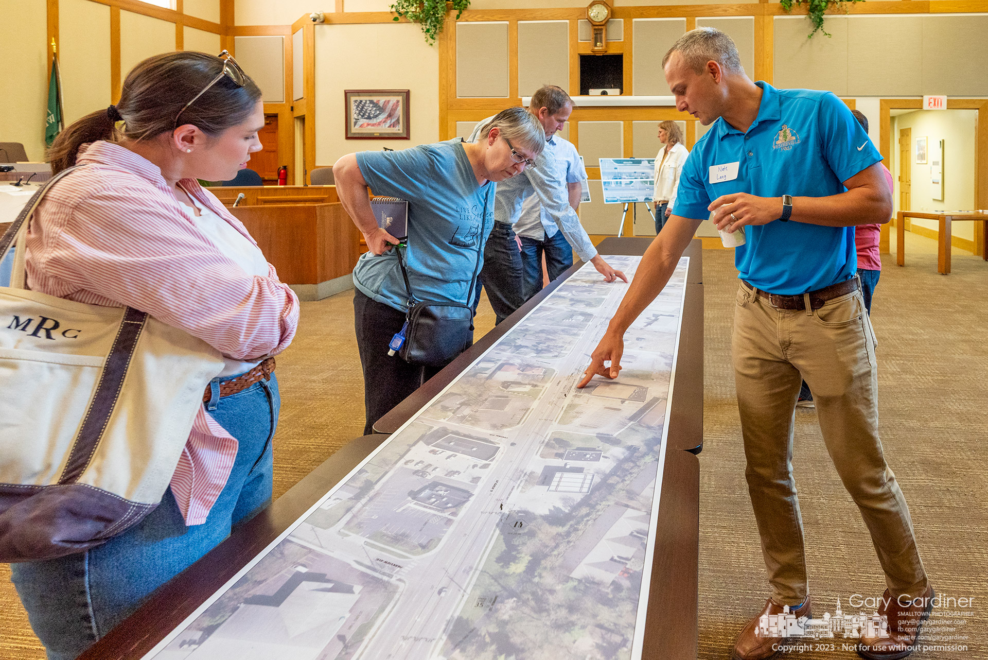
City planners use an aerial map of South State Street to show locations for new parking spots planned for the northbound traffic side of the State from approximately Oakland Ave. to Walnut. My Final Photo for May 10, 2023.
City planners use an aerial map of South State Street to show locations for new parking spots planned for the northbound traffic side of the State from approximately Oakland Ave. to Walnut. My Final Photo for May 10, 2023.